

GIS in Environmental Management
- TreisTek
- Aug 7, 2019
- 2 min read

Updated: Jul 15, 2021
Climate change issues are creating havoc with erratic weather patterns affecting everything from crop production to untimely melting of ice glaciers. These issues need timely monitoring and supervision. Effective monitoring of the environment and an improved understanding of the same requires valuable information and data that can be extracted through application of geo-spatial technologies such as remote sensing and GIS.

Environmental Analysis
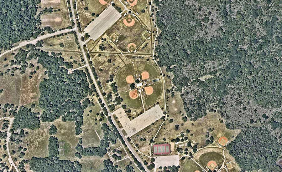
TreisTek’s GIS services provide exploration to support design including material consumption, hydrology analysis, soil load analysis, volume calculations, runoff and air emissions, slope stability, traffic capacity, and erosion control. Environmental analysis with GIS permits to view trends, patterns, and relationships that weren’t evident without visualization of data.
Watershed Management
Our GIS technology improves control for flow statics, watershed features and debris flow probabilities, and enables the watershed allocation using Digital Elevation Models (DEMs). It offers a stable procedure for watershed analysis using scandalized data sets and DEMs such as land cover, climates variables, gauging station locations and soil properties.
Hazard and risk assessment
Our GIS services are used to minimize natural hazard such as flood, landslide, soil erosion, forest fires, earthquake, drought and so on by early planning, preparation and strategies. GIS based map provides a spatial data of the disasters that have taken place before or might occur in future so that early risk can be prevented.
Change detection
With the help of GIS, we provide information about land area change between time periods. The land change documents are detected through satellite imagery or aerial photographs. GIS is a very useful application in land change, deforestation assessment, urbanization, habitat fragmentation and so on.
Natural resource inventory
Natural resource inventory is a statistical survey of the condition of natural resources. With the help of our GIS services, we can obtain relevant information about the environment condition and policies. GIS maps provide information about location and current resources.
Environmental monitoring
Our GIS services provide a graphical data that helps in monitoring the environment. It determines the qualitative and quantitative data about the environmental issues such as pollution, land degradation and soil erosion.
Air quality monitoring
Our GIS integrated platform predicts the PM levels in varied areas within a city by leveraging sensors and IoT for air quality monitoring, analytics and planning. This also helps to find out the most hazardous and dangerous areas specifically for asthma patients.
Forest fire management
Our GIS technology helps in forest fire management by avoiding wildfire. The applications that we use include hazard map production, forest fire simulation, resource management, Digital Elevation Model (DEM) and index of flammability.
GIS provides relevant information about the environmental condition and policy, including conservation programs. Maps in GIS provide the information of location and current resources. It also provides information about land area change between time periods.


Comments