

GIS in Infrastructure Development
- TreisTek
- Jul 23, 2019
- 2 min read

Updated: Jul 15, 2021
Infrastructure development is an essential pre-requisite for sustained and accelerated economic development of a country. The regional development of a country is determined by its infrastructure. With GIS progressing in a rapid rate, it has made its way into the infrastructure and IT market.

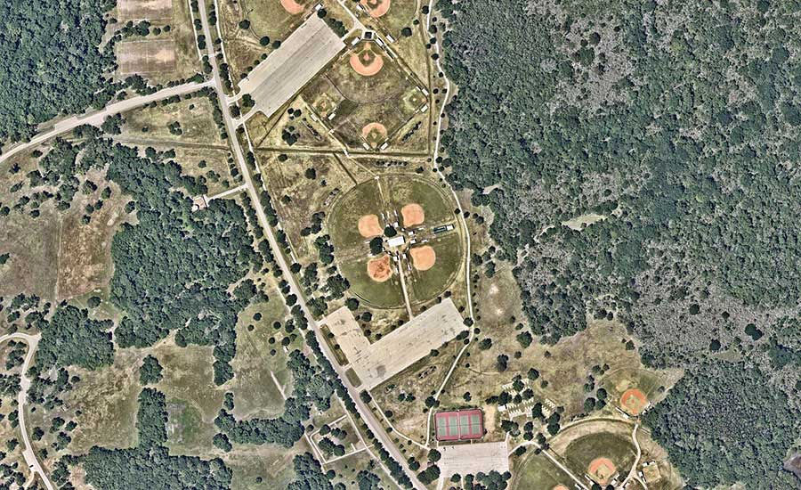
GIS for infrastructure
TreisTek’s GIS applications fulfill the needs of infrastructure GIS users in a highly productive environment based on the latest technology. These applications feature a high degree of accuracy, high productivity design, complete 3D modeling and visualization, high quality plotting, publishing and many more!
Infrastructure Management
TreisTek’s GIS services help to envisage the surrounding environment and assets while building, upgrading and repairing infrastructure, and allow to decide on arrangement of work and its importance.
GIS, being the primary system for data visualization and management, provides clear and accurate picture of the project and helps to understand the needs better, minimize problems and mitigate environmental impacts along with the cost. Today, usage of best visualization, mapping and tools that modernize the business processes have become inevitable.
Infrastructure Protection
The security and the safety of a building are in the hands of engineers. TreisTek’s GIS services act as a comprehensive equipment for preparation response, emergency assessment and recovery activities of crucial infrastructures like utilities and bridges. One more feature that we offer is situational responsiveness tool which helps to combine information from flood evacuation and elevation routes to inspect results and structural specifications.
The vital infrastructure information is packed in a geo-database which makes it easier to display the information in actual time on a web-based map. GIS tools can be used to analyze and combine specific data to complete an expected task.
Operating and Maintaining Infrastructure
TreisTek’s GIS mapping models infrastructure network along with utility and incorporates other related types of data such as CAD drawings and raster images. Our GIS display tools and spatial selection assist in visualizing ongoing activities, scheduled work, historical information and recurring maintenance problems.
Meet Construction Requirements
Our GIS services provide management and mechanics for constructing new infrastructure including earth movement, machine control takeoffs, payment calculations, schedules, logistics, materials tracking and traffic management.
Urban Infrastructure – Remodeling the World
With the help of our GIS services, the urban development and planning can be implemented more efficiently by considering if the land is vacant and flat, accessibility to water resources, area of vacant land and vegetation demography. GIS plays a vital role from the decision-making about the land, to choose the direction of its expansion and more.
Real Life Implementation of GIS in Shaping Infrastructure
TreisTek provides the comprehensive solution for converting the raw geo-spatial data to actionable data. We firmly collect the information and allow to process and analyze it so that usable results can be delivered in infrastructure field.
GIS results in better infrastructure planning because technology is still growing and excelling. However, the truth is that GIS will have a great role in shaping the infrastructure of future.


Komentar