

Site Selection Using GIS
- TreisTek
- Jul 26, 2019
- 2 min read

Updated: Jul 15, 2021
Selecting a profitable location is the most important endeavor a business owner can invest in. Site selection determines the future of a business in vital areas of growth, expansion, and revenue. TreisTek assists site selection by using its Geographic Information Systems (GIS) analysis and helps to eliminate or reduce long term losses.

Site Analysis
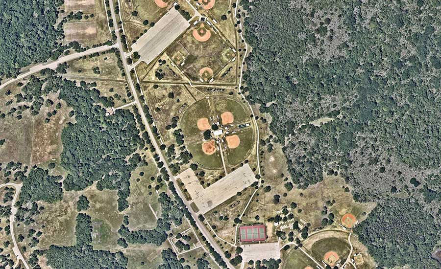
TreisTek’s GIS services quickly analyze and incorporate various types of images and information for site analysis. The base map includes thematic maps, field data, serial photos, environmental protection areas, city and zoning designations, soil, and topographic maps. Relevant data that are overlaid on commercial activity, traffic flow, and population growth, combine to paint a significant picture of sites constraints and opportunities swiftly. GIS is also used to uphold a track of numerous city and regional displays, predict future essentials of the public, and plan accordingly to ensure the smooth functional life of the community.
Land Fill Site Assortment
Our GIS services act as a useful tool to search for appropriate landfill sites and provide accurate spatial data by covering bigger themes. With highly sophisticated high-tech GIS systems, Landsat satellites, digitized map and remote sensing devices coming up, defining land usage patterns and infrastructure have improved dramatically. GIS services ensure that there is higher amount of transparency in the procedure of site selection and enhance public confidence in the non-biased way.
Spatial Analysis
Our GIS services offer tools for demonstrating information to support faster decisions, optimize network and resource allocation, characterize and discover geographic patterns and systematize workflow through a graphical modeling environment.
Spatial Data Management
With the help of our GIS technology, we assist in spatial data management. This is done by managing and organizing geographic information to support efficient and fast visualization, and logical applications irrespective of the quantity of data.
Land Analysis
Our GIS software ensures optimum utilization of land and calculates functional proficiency of a proposed design, its marketability and cost-effectiveness. GIS helps to assess the effects on environment by defining the consequences on various regulatory requirements. It is also used for hydro logic, terrain, visibility analysis, and decide on suitability of land-use.
Regional Planning
Surveyors, engineers and planners use our GIS services to map and design cities and neighborhoods. GIS facilitates the process of decision making by providing technical proficiency, political savvy and financial understanding to transform vision into strategic action.
Space Utilization
TreisTek’s GIS services help to arrange and spatially visualize small space and come up with the best way to utilize it. Operational costs are minimized by effective utilization of available space (managing moves of assets and people).
Suitability of a site is selected by considering existing land use, flood hazard and ground water level. Site selection analysis that is done with the help of GIS eliminates guess work and provide insight about a business location and its future.


Comments